
The Wanderers is an easy hiking group that targets 3 to 5 miles with less than 500 feet of climb. This group hikes at a rate of 1 to 2 miles per hour. Hikes range from the R1 to R5 difficulty level based upon the Pisgah Hikers rating scale. The group takes breaks on uphill sections of trails to rest, smell the flowers, enjoy the views and take pictures.
Hike Leaders:
Jay Hinze: rtbzrh@gmail.com RSVP.
Hugh Brown; hbrown3649@icloud.com
Updates: Updates are posted on the website every Tuesday morning for the next day’s hike. To receive Updates automatically by email, hikers must subscribe by clicking on the +Follow button at he bottom right hand corner of any webpage and entering their email address. Otherwise find the Update by selecting the Updates page on the website. Hikers can Unsubcribe by clicking that button on the top of the Update email they receive.
4 mi, 400’cl, R4, $3.00
Meet at Savmor
From the trailhead near Toxaway Creek we hike to the Lunar Falls overlook, Boushell Falls and Taper Falls before returning to our cars.
Wanderers at The Wilds
4/1 Buck Spring In and Out
3 mi, 150’cl, R2, $3.00
From the Wagon Road Gap overlook on the BRP we hike the MST past “Promontory Stump” to the Barnett Branch trai to our shuttle on Yellow Gap road.
4/8 Pisgah Ridge
4 mi, 200’cl, R2, $5.00
From the trailhead on FS816 we hike the Pisgah Ridge (VFT) trail to its terminus at the MST. Then we hike back to our shuttle at the Looking Glass Rock overlook.
4/15 Tuckasegee River – High Falls
4 mi, 400’cl, R3, $7.00
Meet at Savmor
From the High Falls North trailhead on Shoal Creek Mountain Road north of Glenville, we hike down the Tuckasegee River to High Falls checking out Thurston Hatcher Falls along the way. We should see lots of spring wildflowers on this hike. We return to our cars by the reverse route.
4/22 North Carolina Arboretum
4.5 mi, 300’cl, R3, $2.00
Meet at Ingles Mills River (Park in the last row next to North Mills River Road
Alternate Meeting Place: Bent Creek River Park
From the Shut-in Trail parking lot in the North Carolina Arboretum, we hike the Bent Creek trail to the Carolina trail through the Annual Azalea display to Visitor Center for our packed or purchased lunch. We return to our cars via the Wesley Branch and the Old Mill trail. Please bring your Arboretum pass if you have one. Drivers will need it to access the Shut-In trailhead.
4/29 Beech Bottom Falls – Graveley Mill Falls
3 mi, 400’cl, R3 $3.00
Meet at the Island Ford Road Takeout on the French Broad River
This is a 3 part easy adventure. From the trailhead on Van Clayton highway, we hike to the Beech Bottom Falls overlook. We return to our cars and drive to Sassafras Mountain for a photo shoot. Then we get back in our cars and hike to Graveley Mill Falls. Hikers are invited to your leader’s house for refreshments after the hike.
5/6 Turkeypen – Pounding Mill Rock
5 mi, 400’cl, R5, $2.00
Meet at Walmart
From the Turkeypen trailhead, we hike the South Mills River trail to the Wagon Road Gap bridge. If we’re lucky, we will see some lady slippers along the way. We stop for lunch at “Pounding Mill Rock”. We return to our cars by the reverse route.
5/13 Buck Spring – Campground Loop
3 mi, 200’cl, R2, $4.00
From the Pisgah Inn we hike the Buck Spring trail past the Mt. Pisgah trailhead to the Campground trail and back to the Pisgah Inn. Plan to eat lunch at the Pisgah Inn.
5/20 Ravencliff Falls
4 mi, 525’cl, R4, $0.00
Meet at Cedar Mountain Community Center
From the Ravencliff Falls parking lot on US276 we hike to the overlook for photos and a snack. We return to our cars by the reverse route. We get back in our cars and drive to Caesars Head for lunch at the overlook.
5/27 Panthertown West Waterfalls
4. mi,400‘cl, R5, $7.00
Meet at Savmor
From the Salt Rock trailhead in Panthertown we hike to Granny Burrell Falls, Frolichtown Falls and Wilderness Falls before returning to our cars.
6/3 Graveyard Fields to Skinny Dip Falls
4 mi, 400’cl, R5, $5.00
From the Graveyard Fields trailhead on the Blue Ridge Parkway,we hike to the Second Falls for a photo shoot. Then we hike the MST above Dark Prong to Skinny Dip Falls for lunch. After lunch we hike to our shuttle at the Looking Glass Rock Overlook.
6/10 Sam Knob
4 mi, 600’cl, R4, $5.00
From the Sam Knob parking lot we cross the meadow and hike up to Sam Knob. We visit each of the two knobs and have lunch at the south knob.
6/17 Slate Rock
4 mi, 400’cl, R5, $4.00
From the Pilot Cove trailhead on Yellow Gap Road we hike to Slate Rock for lunch. We retrace our steps to our cars.
6/24 Fly Poison Hike
4 mi, 500’cl, R4, $7.00
Meet at Savmor
From Bear Pen Gap on the Blue Ridge Parkway we hike the Mountains-to-Sea trail to Haywood Gap where our shuttle awaits. Hopefully the fly poison flowers will be in bloom along the way.
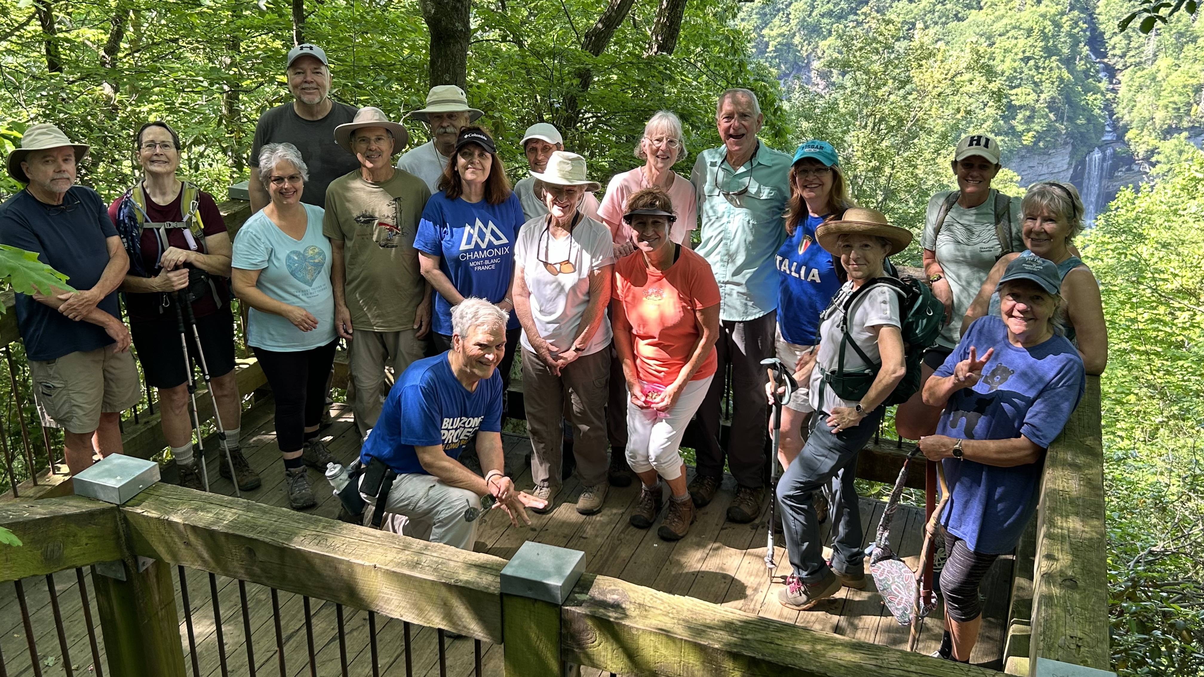
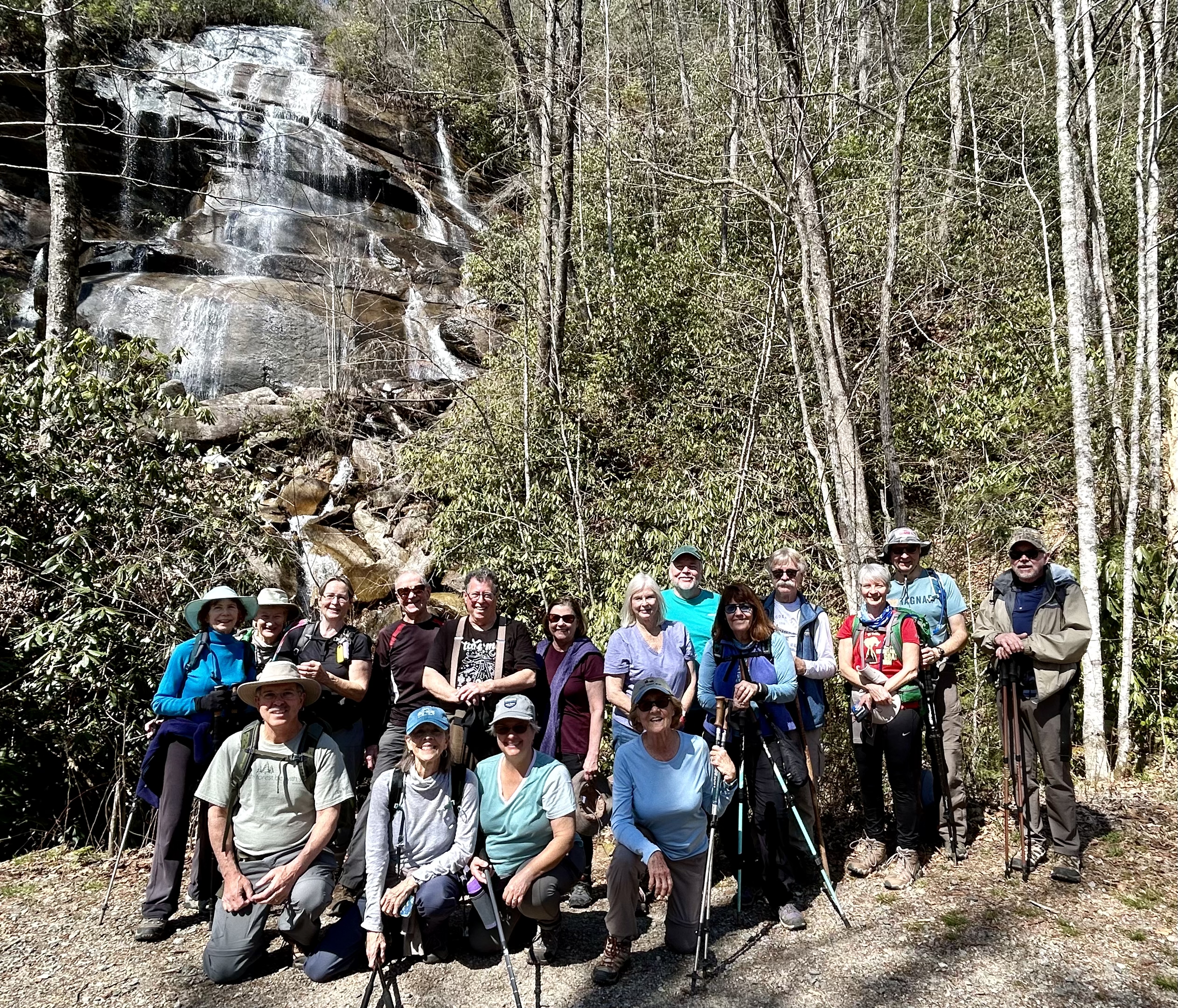
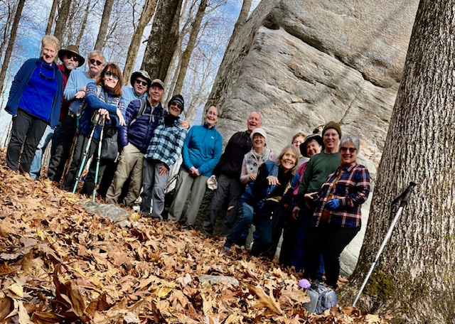
Photo Gallery Previous Hikes
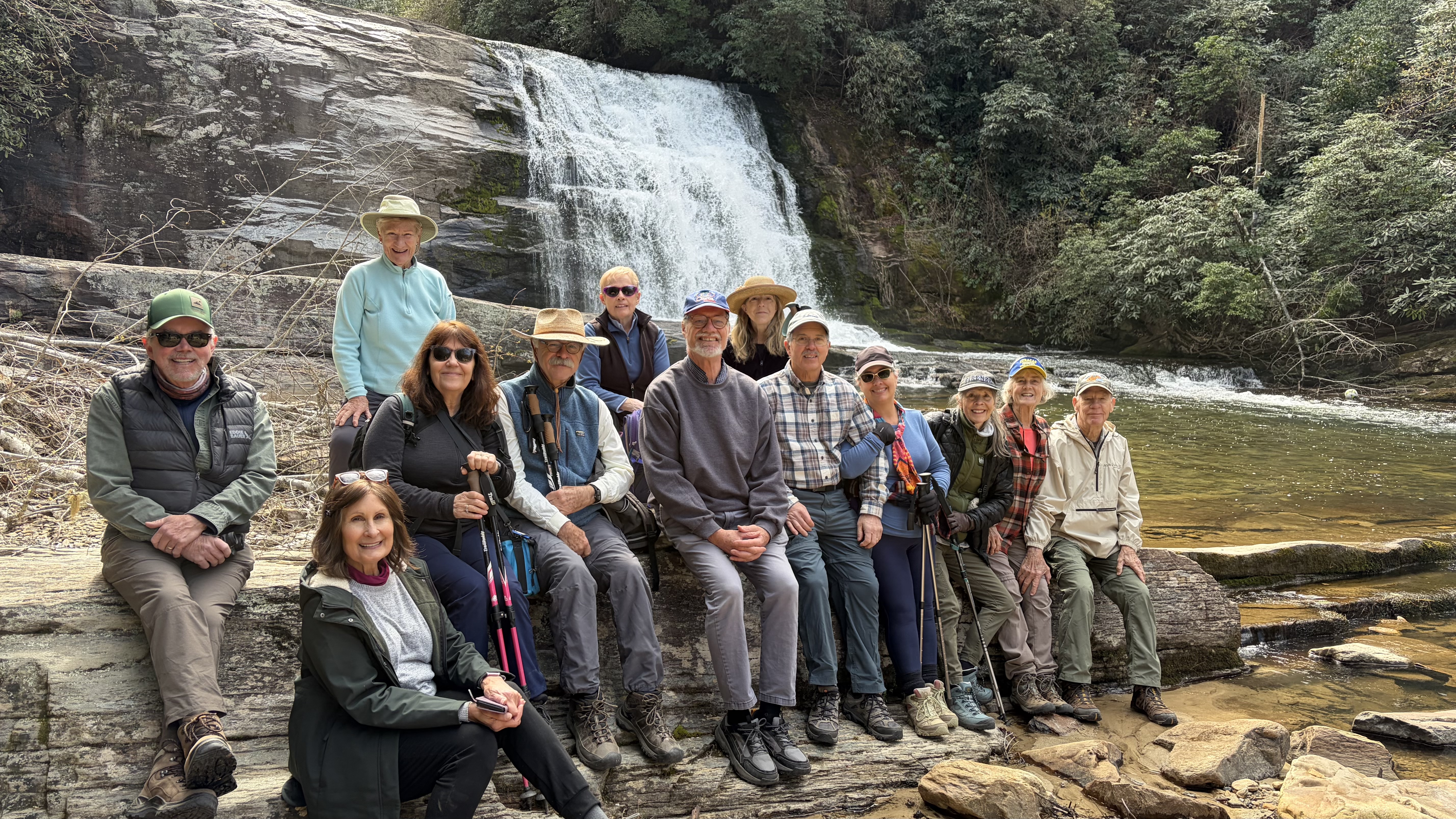
 Toxaway River Ramble
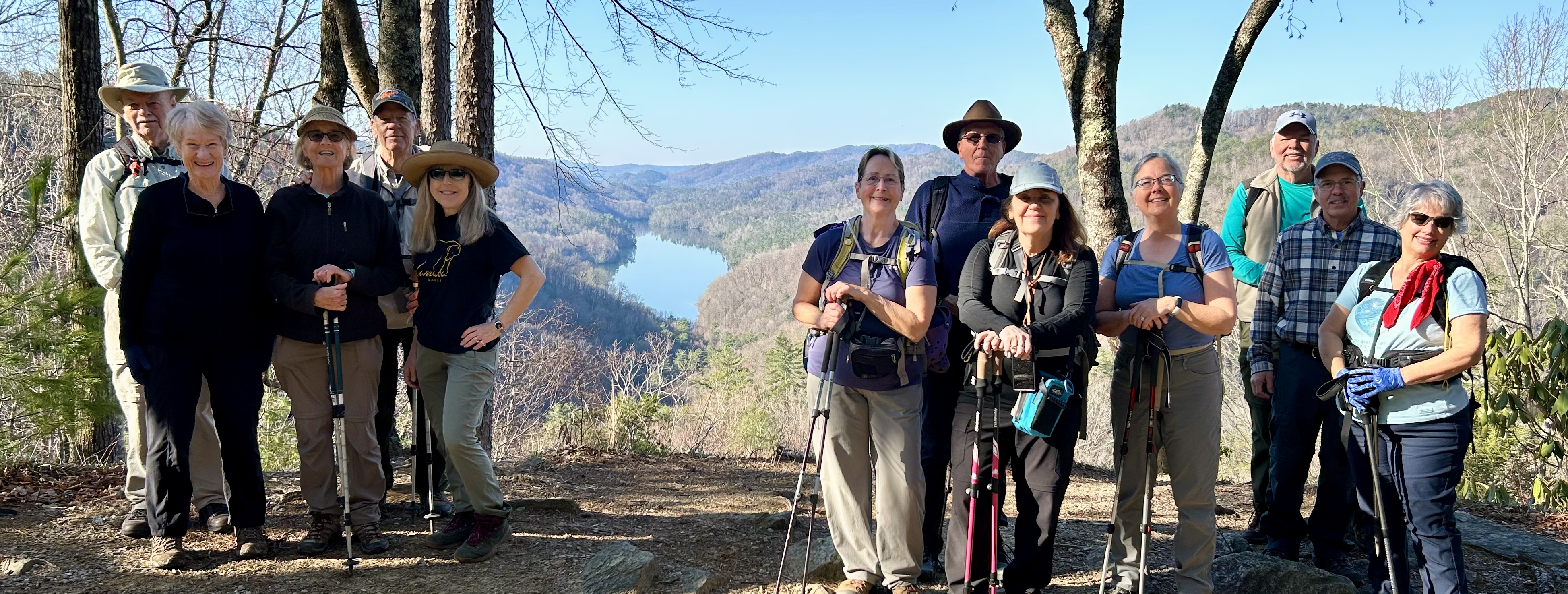
 DuPont Three Lakes
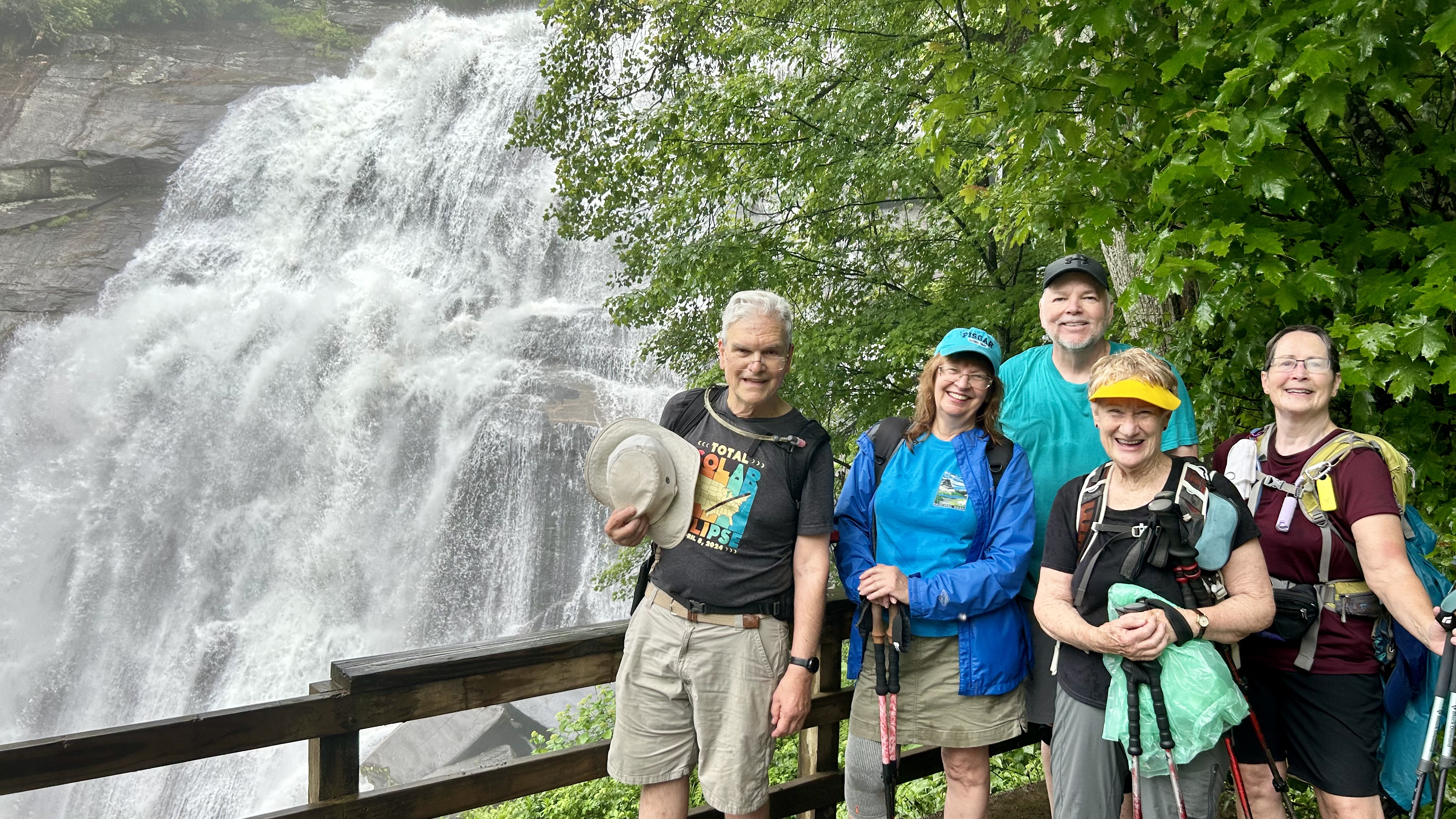
 High Falls – Tuckasagee River
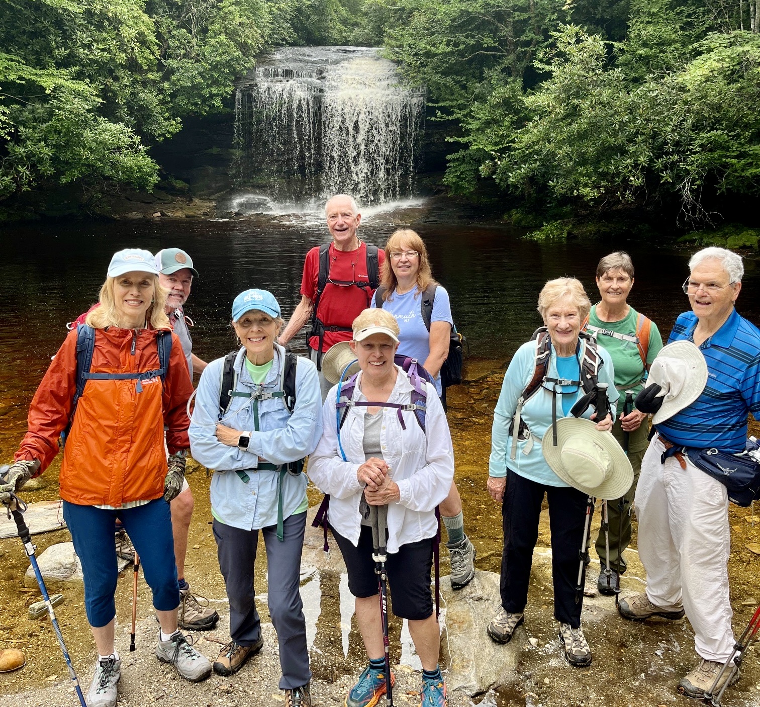 Schoolhouse Falls
 Big East Fork
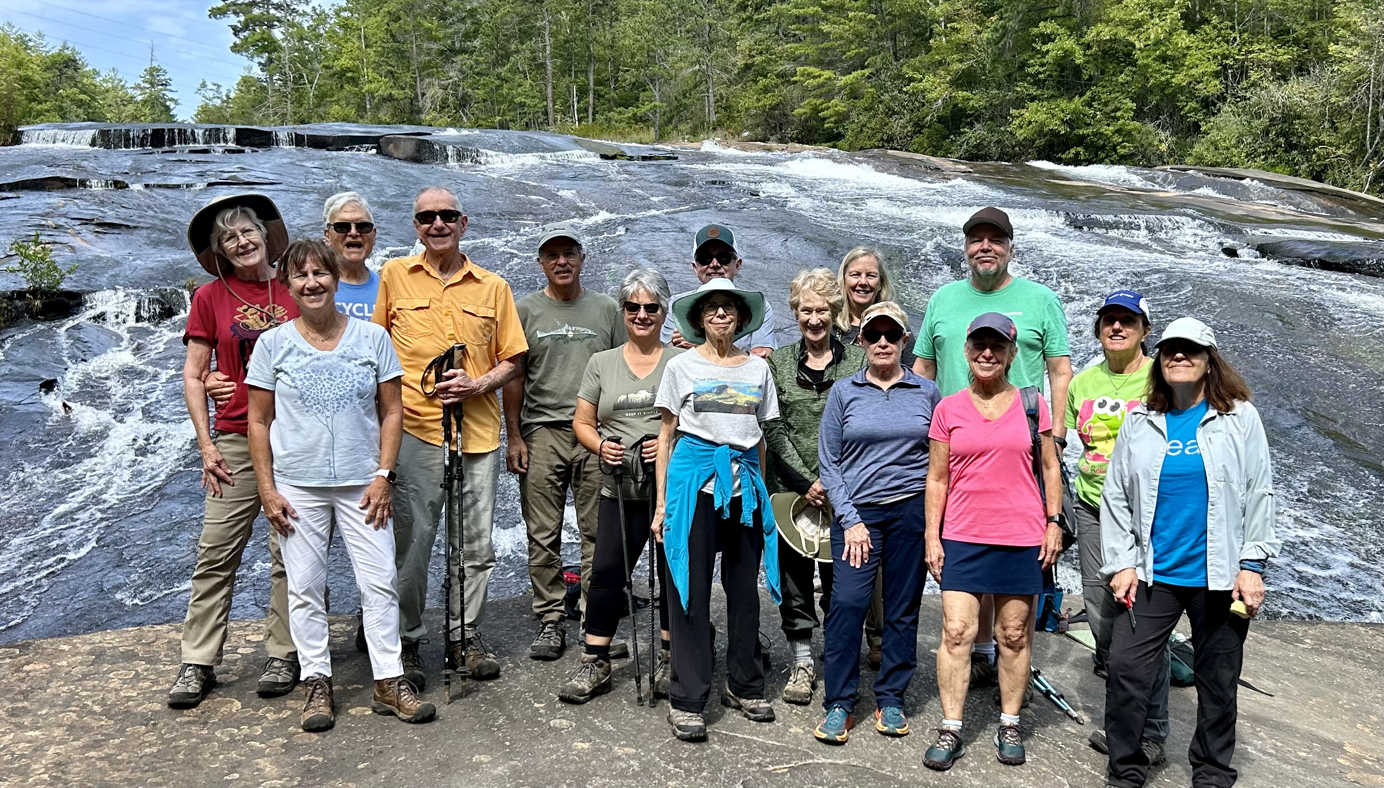
Bridal Veil Falls

Lake Julia
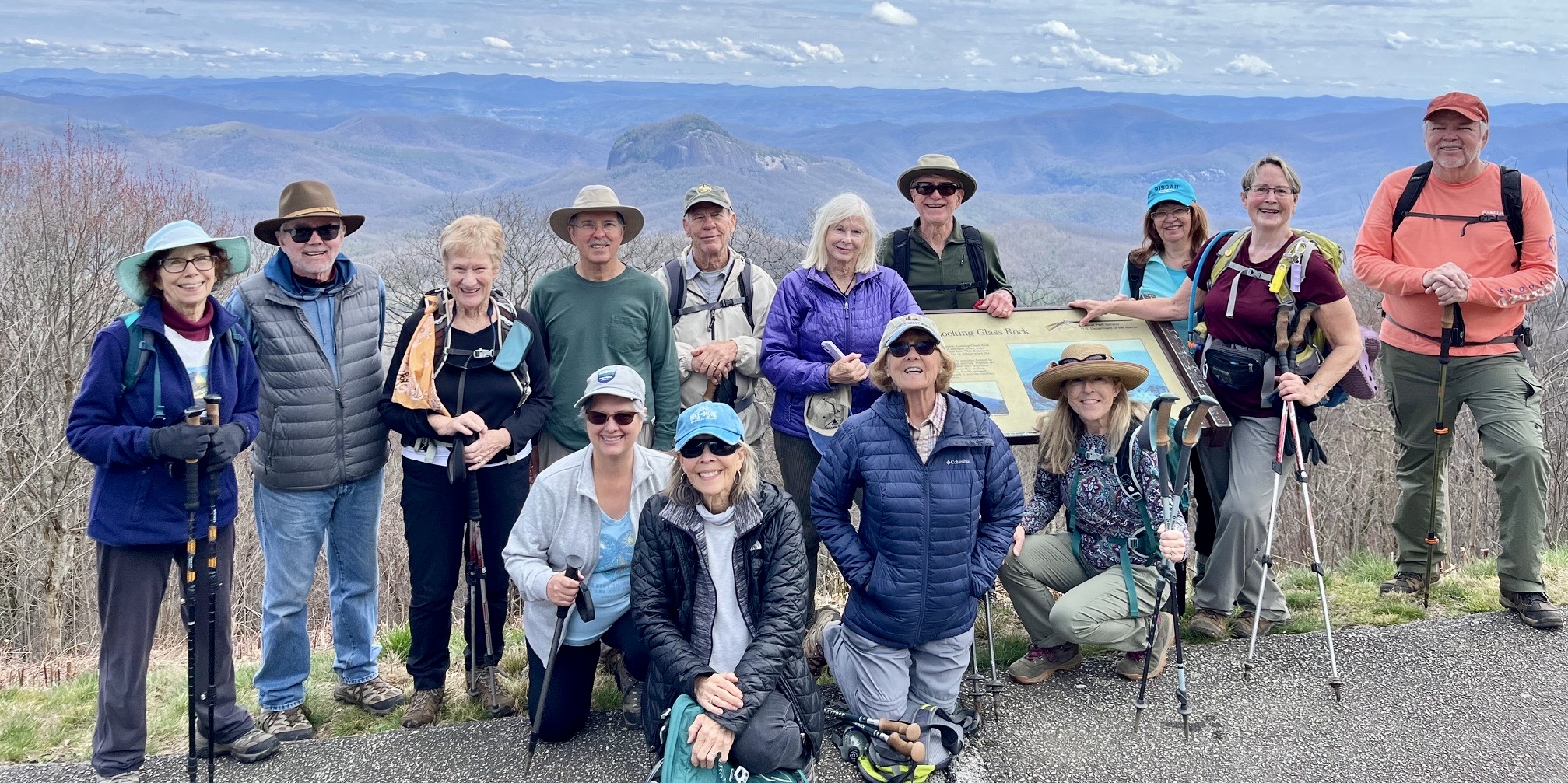 Pisgah Ridge
 Upper Log Hollow Falls
 Pisgah Inn – Frying Pan
 Sassafras Mountain Overlook
 Ravencliff Falls
 Rainbow Falls
 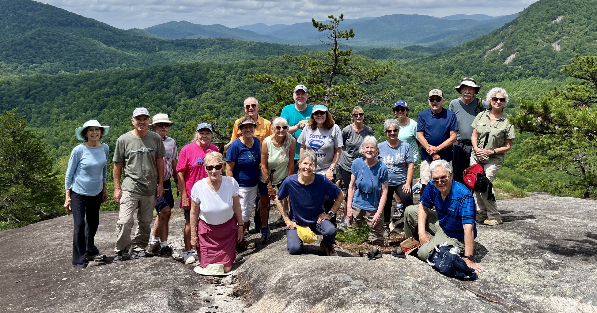 Slate Rock
 Cedar Rock Creek Rock Hop
 Daniel Ridge – Tom’s Spring Falls
Camp High Rocks

You must be logged in to post a comment.