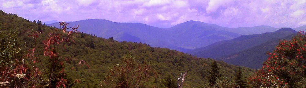
Friday Rollers

Friday Rollers Crossing Reasonover Creek
 
Regular departure time and place: The Lowe’s Assembly area in the Lowe’s parking lot at the curb-line closest to and parallel with US64.  Please be there by 8:50 a.m. to allow time for sign-up, chitchat and whatnot.  We leave promptly at 9:00 a.m.   For DuPont hikes, check the description for a 2nd meet-up location and time for hikers coming from Henderson County.
 
A moderately paced hike, we expect to hike 3 – 6 miles without a huge amount of elevation gain.
 
Friday Rollers Group Leader:  Richard Mayberry  mayberryfinearts@gmail.com


FRIDAY ROLLERS WINTER/SPRING 2023 HIKING SCHEDULE

 
January 20, 2023 DUPONT FOREST – FAWN LAKE RAMBLE
4.6 miles, 580’ ascent, R6, suggested car fee:  $3.00 
An out and back with two lollipops.  We hike out Fawn Lake trail, left onto Mine Mtn. trail, left on Cart trail, left on Laurel Ridge trail, left on Shoals trail, left on Corn Mill Shoals trail to lunch at the Little River.  Then return via Corn Mill Shoals trail to right on Laurel ridge trail continuing to right on Fawn Lake Rd. back to cars.
 
January 27 GREEN RIVER GAME LANDS – NORTH SIDE
5.8 miles, 1,000’ ascent*, 990’ descent*, R8, $5.00 car fee
A loop hike, off Big Hungry Road, hike down Pulliam Creek Trail 1.5 miles, take Narrows Spur (very difficult) out and back .2 miles, continue down Pulliam Creek . 7 miles, left onto Bear Branch Trail 1.5 miles, left onto Bishop Branch Trail 1.1 miles, left onto Rock Hop Trail, then right on Pulliam Creek Trail to cars. *Ascent/descent does not include the Narrows Spur trail.  Add maybe 300’ for that.
 
February 3 MST – FOLK ART CENTER TO HAW CREEK OVERLOOK
5.1 miles, 600’ ascent/descent, R5, $5.00 suggested car fee
An out and back hike on the MST going north to the overlook.
 
February 10 THRIFT COVE
4 miles, 750’ ascent, R4, no car fee
A short – stick lollipop, we hike out from parking near the Forest Service Utility buildings, go up Black Mountain trail, continue on Thrift Cove trail back to Black Mtn. trail and finish.
 
February 17 HOOKER FALLS TO THREE LAKES TRAIL
6.2 miles, 510’ ascent, R5
An out and back, starting at Hooker Falls parking we hike up to the covered bridge, then up the 3 Lakes Trail to lake Julia.  Once there we maybe have lunch at the Lake Julia dam, then return via Conservation Rd. to the covered bridge and back to cars.
 
February 24 COONTREE LOOP (long)              
5.5 miles, 1200’ ascent, R7, suggested car fee: $1.00    
A loop with a tail, we go clockwise around the Coontree Loop from the Coontree parking lot on US276. At top of the hill we make a round trip up the Bennett Gap Trial for about a half mile to a viewpoint, have lunch, and then complete the loop back to our cars.
 
March 3 TWIN FALLS FROM HORSE STABLES
5.6 miles, 600’ ascent, R5, car fee:  $1.00
An out and back trail, we hike to the Avery Creek trailhead via Avery Creek Rd., make a right onto Buckhorn Gap trial to Twin Falls trail and the falls.  Lunch, then return but staying on Buckhorn Gap trail to Avery Creek Rd. to cars.
 
March 10 MST – FOLK ART CENTER TO HAW CREEK OVERLOOK
5.1 miles, 600’ ascent/descent, R5, $5.00 suggested car fee
An out and back hike on the MST going north to the overlook.
 
March 17 BUTTER GAP PLUS CEMETARY LOOP
4 miles, 500’ ascent, R4, car fee: $2.00
An out and back hike, we hike up Cat Gap Loop, make a right onto Butter Gap, hike to water falls, have lunch and return.
CEMETERY LOOP
2.2 miles, 125’ ascent, R1, car fee:  $2.00
Drive to the trailhead (475D) on  Forest Service Rd. 475 (Davidson River Rd.) Hike the loop and come out next to your start.
 
March 24 BEACH BOTTOM FALLS
3-4 miles est., 800’ ascent est., R6, suggested car fee:  $4.00
From the trailhead on the Sassafras Mountain Road (F. Van Clayton Memorial Hwy) we hike to the Beech Bottom Falls overlook.  We retrace our steps and hike down a steep trail to the base of the falls. 
 
March 31 ESTATOE AND EXERCISE LOOP
4.4 miles, 30’ ascent, R2 no car fee
An out and back from Lowe’s parking, we cross the foot bridge and go past the Art Loeb parking turning left onto the paved road, cross bridge then right onto the Exercise trail, go around the English Chapel, then return to Lowe’s going straight across the paved road.
 
April 7 BENT CREEK/ARBORETUM
4.1 miles, 200’ ascent, R4, suggested car fee:  $5.00
A shuttle hike:  From Rice Pinnacle parking we hike out Deer Lake Lodge trail, left onto Hard Times Connector, left on Road 480, left on 480A (Old Bent Creek Gap rd., enter the Arboretum, right on Creekside trail, right on Wesley Branch trail to Visitor Center for lunch, take Carolina Mtn. trail to car(s) parked at the Arboretum entrance.
 
April 14 ROUGH AND TWIN FALLS
4.5 miles, 350’ ascent, R4, car fee:  $5.00
An out and back trail, this is more of a flower walk than hike.
Directions:
US 64 to Cashiers, north (right) on Hwy 107 for 8.1 miles then sharp left onto Shoal Creek Mountain Rd.  (It is just a tenth of a mile or so past a large pipe on left).
 
April 21 PERRY COVE VIA BENNETT GAP
4.5 miles, 1,130’ ascent, R6, car fee:  $1.00
A loop from Avery Creek Rd. we take Bennett Gap up to Perry Cove, then right back to Forest Rd. 5054 to Bennett Gap then left to cars.
BENNETT GAP/PERRY COVE VARIATION
5 miles, 1,200’ ascent, R6, suggested car fee:  $1.00
Same hike as above but includes additional distance on Bennett Gap trail to a rocky outcrop for lunch.
 
April 28 PERRY COVE: UNUSUAL FLOWER HIKE
6.3 miles, 700’ ascent est., R6, Suggested car fee:  $4.00
FIRST, we drive out Avery Creek Rd. to the horse stables and walk to the  Perry Cove trailhead, hike up and back to see a stand of white dwarf irises.
SECOND, we drive to the fish hatchery and hike maybe 1/3 mile clockwise up Cat Gap Loop to find a very short left turn to a large grouping of pink Lady Slippers just off the trail on the left.
THIRD, we drive to the Pisgah Inn and hike out the Mountains to Sea Trail to the base of Mt. Pisgah, hike a very short distance and turn left onto the Campground Trail.  After searching for 4 and 5 leaf Trillium we return to the Pisgah Inn perking via the Campground Trail.  Hike distance 3 miles.
 
May 5 PISGAH RIDGE TO SKINNY DIP FALLS
3.8 miles, 150’ ascent, 400’ descent est., R4, suggested car fee:  $4.00
A shuttle hike, we hike from Parkway Rd. 816 on the Pisgah Ridge trail to the MST intersection, the down to Skinny Dip Falls then to Looking Glass overlook. 
 
May 12 MT. PISGAH HIKE
5.3 miles, 930’ ascent, 970’ descent, R7, $3.00 car fee
From the Pisgah Inn we hike the Mountains to Sea Trail, to Mt. Pisgah Trail,, returning to the Pisgah Inn for lunch via the camp ground trail.
 
May 19 PANTHERTOWN, EXPLORING THE EASTERN SIDE
5 miles, 650’ ascent, descent, R5, car fee:  $5.00
Mac’s Gap trail, right at Little Green trail, diversion to Tranquility Point, back, diversion to Schoolhouse Falls, back to Panthertown Valley Trail, right, back to cars.
 
May 26 FLAT LAUREL CREEK/BIG SAM LOOP
4.2 miles, 770’ ascent, R6, suggested car fee:  $5.00
From Big Sam parking at the end of road 816 we hike out Flat Laurel Creek trail taking a right across Flat Laurel Creek onto Big Sam trail, hike to the top for lunch and return to our cars.